 NOBLE
NOBLE
Current Status
Where is the vessel?
NOBLE is currently in 50 nm E of Nangang, based on AIS data received about 14h ago.
Latest AIS update:
Current position: 25.32515° N, 122.88965° E (50 nm E of Nangang)
Average speed (last 7 days): Loading…
Average speed (last 30 days): Loading…
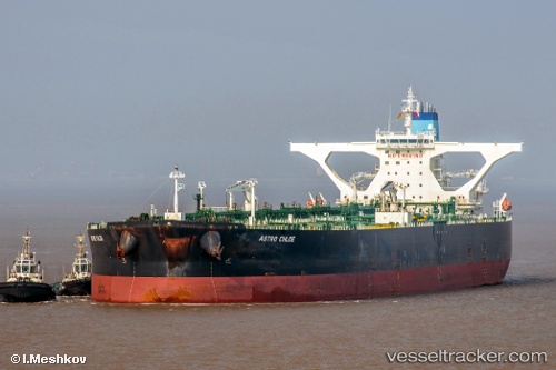
Vessel profile: NOBLE is a Crude Oil Tanker with dimensions m x m.
This page combines live AIS, route history, probable destination signals, nearby traffic, and port activity for practical vessel monitoring.
The current position of vessel NOBLE is 25.32515 lat / 122.88965 lng. Updated: 2026-05-21 09:55:03 UTCNearest reference points:
- 55 nm E of Nangang
- 14 nm NE of Nangang
- 13 nm NE of Nangang
Currently sailing under the flag of Hong Kong ![]()
Details:
Live Vessel NOBLE Analytics (details, animations, etc.)
Recent AIS points (UTC):
2026-05-21 05:36:33 UTC · 24.50833, 122.81167 · SOG 11 kn · COG -1°2026-05-21 06:57:39 UTC · 24.76167, 122.84833 · SOG 11 kn · COG -1°
2026-05-21 07:51:44 UTC · 24.93167, 122.86167 · SOG 11 kn · COG -1°
2026-05-21 09:55:03 UTC · 25.32515, 122.88965 · SOG 10.6 kn · COG 354°