 POSILLIPO
Current Status
Where is the vessel?
POSILLIPO is currently in 22 nm SW of Kukdo, based on AIS data received about 15h ago.
Latest AIS update:
Current position: 34.30113° N, 128.08987° E (22 nm SW of Kukdo)
Average speed (last 7 days): Loading…
Average speed (last 30 days): Loading…
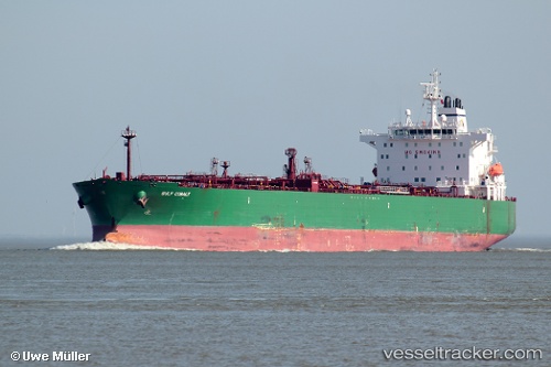
Vessel profile: POSILLIPO is a Crude Oil Tanker with dimensions m x m.
This page combines live AIS, route history, probable destination signals, nearby traffic, and port activity for practical vessel monitoring.
The current position of vessel POSILLIPO is 34.30113 lat / 128.08987 lng. Updated: 2026-05-22 10:24:07 UTCNearest reference points:
- 25 nm S of Kukdo
- 35 nm E of Geomundo
- 15 nm SE of Boseong-gun
Currently sailing under the flag of Marshall Islands ![]()
Details:
Live Vessel POSILLIPO Analytics (details, animations, etc.)
Recent AIS points (UTC):
2026-05-22 07:20:08 UTC · 34.11065, 127.37453 · SOG 12.3 kn · COG 77°2026-05-22 08:22:38 UTC · 34.17240, 127.62038 · SOG 12.2 kn · COG 74°
2026-05-22 09:28:38 UTC · 34.23540, 127.87810 · SOG 12.3 kn · COG 67°
2026-05-22 10:24:07 UTC · 34.30113, 128.08987 · SOG 11.8 kn · COG 70°