 GRIFFIN T
Current Status
Where is the vessel?
GRIFFIN T is currently in 21 nm SW of Anamur, based on AIS data received about 14h ago.
Latest AIS update:
Current position: 35.77096° N, 32.62784° E (21 nm SW of Anamur)
Average speed (last 7 days): Loading…
Average speed (last 30 days): Loading…
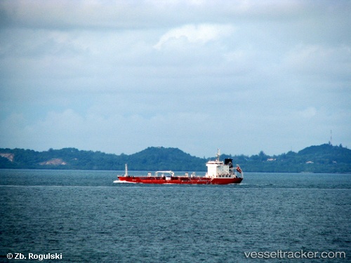
Vessel profile: GRIFFIN T is a Chemical Tanker with dimensions m x m.
This page combines live AIS, route history, probable destination signals, nearby traffic, and port activity for practical vessel monitoring.
The current position of vessel GRIFFIN T is 35.77096 lat / 32.62784 lng. Updated: 2026-05-22 19:50:43 UTCNearest reference points:
- 20 nm SW of Yesilovacik
- 15 nm SW of Yesilovacik
- 11 nm SE of Paphos
Currently sailing under the flag of Barbados ![]()
Details:
Live Vessel GRIFFIN T Analytics (details, animations, etc.)
Recent AIS points (UTC):
2026-05-22 15:30:11 UTC · 35.87593, 33.75640 · SOG 12.5 kn · COG 251°2026-05-22 16:13:51 UTC · 35.84866, 33.56882 · SOG 12.8 kn · COG 262°
2026-05-22 18:04:52 UTC · 35.79380, 33.09236 · SOG 12.6 kn · COG 264°
2026-05-22 19:50:43 UTC · 35.77096, 32.62784 · SOG 12.8 kn · COG 269°