 ETNA
ETNA
Current Status
Where is the vessel?
ETNA is currently in Near Sarköy, based on AIS data received about 14h ago.
Latest AIS update:
Current position: 40.55180° N, 27.06211° E (Near Sarköy)
Average speed (last 7 days): Loading…
Average speed (last 30 days): Loading…
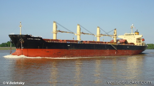
Vessel profile: ETNA is a Bulk Carrier with dimensions m x m.
This page combines live AIS, route history, probable destination signals, nearby traffic, and port activity for practical vessel monitoring.
The current position of vessel ETNA is 40.55180 lat / 27.06211 lng. Updated: 2026-05-22 22:06:06 UTCNearest reference points:
- Near Sarköy
- Near Marmara Adasi
- Near Saraylar
Currently sailing under the flag of Marshall Islands ![]()
Details:
Live Vessel ETNA Analytics (details, animations, etc.)
Recent AIS points (UTC):
2026-05-22 19:50:36 UTC · 40.72249, 27.51433 · SOG 11.4 kn · COG 248°2026-05-22 20:00:57 UTC · 40.71016, 27.47652 · SOG 10.3 kn · COG 243°
2026-05-22 21:35:16 UTC · 40.59113, 27.16248 · SOG 10.1 kn · COG 240°
2026-05-22 22:06:06 UTC · 40.55180, 27.06211 · SOG 9.8 kn · COG 243°