 KLEER
KLEER
Current Status
Where is the vessel?
KLEER is currently in Near Rochefort, based on AIS data received about 15h ago.
Latest AIS update:
Current position: 45.95050° N, 0.95465° W (Near Rochefort)
Average speed (last 7 days): Loading…
Average speed (last 30 days): Loading…
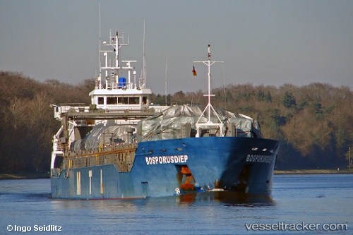
Vessel profile: KLEER is a General Cargo with dimensions m x m.
This page combines live AIS, route history, probable destination signals, nearby traffic, and port activity for practical vessel monitoring.
The current position of vessel KLEER is 45.95050 lat / -0.95465 lng. Updated: 2026-05-20 01:53:33 UTCNearest reference points:
- Near La Rochelle
- Near Royan
- Near La Pallice
Currently sailing under the flag of Antigua and Barbuda ![]()
Details:
Live Vessel KLEER Analytics (details, animations, etc.)
Recent AIS points (UTC):
2026-05-19 23:05:30 UTC · 45.95047, -0.95460 · SOG 0 kn · COG -1°2026-05-20 00:08:31 UTC · 45.95054, -0.95466 · SOG 0 kn · COG -1°
2026-05-20 01:14:29 UTC · 45.95052, -0.95471 · SOG 0 kn · COG -1°
2026-05-20 01:53:33 UTC · 45.95050, -0.95465 · SOG 0 kn · COG -1°