 JENGGALA BANGO
Current Status
Where is the vessel?
JENGGALA BANGO is currently in 48 nm NE of PENGERANG, based on AIS data received about 15h ago.
Latest AIS update:
Current position: 1.86450° N, 104.75343° E (48 nm NE of PENGERANG)
Average speed (last 7 days): Loading…
Average speed (last 30 days): Loading…
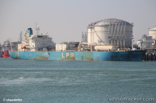
Vessel profile: JENGGALA BANGO is a Tanker with dimensions m x m.
This page combines live AIS, route history, probable destination signals, nearby traffic, and port activity for practical vessel monitoring.
The current position of vessel JENGGALA BANGO is 1.86450 lat / 104.75343 lng. Updated: 2026-05-18 22:24:52 UTCNearest reference points:
- 45 nm NE of PENGERANG
- 51 nm NE of PENGERANG
- 53 nm NE of PENGERANG
Currently sailing under the flag of Indonesia ![]()
Details:
Live Vessel JENGGALA BANGO Analytics (details, animations, etc.)
Recent AIS points (UTC):
2026-05-18 19:48:24 UTC · 1.86440, 104.75388 · SOG 0.1 kn · COG -1°2026-05-18 19:51:52 UTC · 1.86447, 104.75370 · SOG 0.1 kn · COG 182°
2026-05-18 21:57:52 UTC · 1.86442, 104.75362 · SOG 0.1 kn · COG 166°
2026-05-18 22:24:52 UTC · 1.86450, 104.75343 · SOG 0.1 kn · COG 157°