 LAGAVULIN
Current Status
Where is the vessel?
LAGAVULIN is currently in 27 nm S of Las Noras de Daza, based on AIS data received about 15h ago.
Latest AIS update:
Current position: 36.30866° N, 2.66213° W (27 nm S of Las Noras de Daza)
Average speed (last 7 days): Loading…
Average speed (last 30 days): Loading…
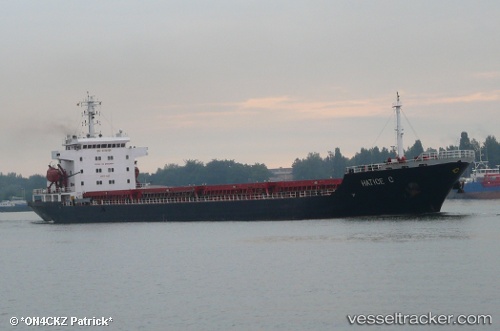
Vessel profile: LAGAVULIN is a Bulk Carrier with dimensions m x m.
This page combines live AIS, route history, probable destination signals, nearby traffic, and port activity for practical vessel monitoring.
The current position of vessel LAGAVULIN is 36.30866 lat / -2.66213 lng. Updated: 2026-05-19 01:31:29 UTCNearest reference points:
- 37 nm S of Las Noras de Daza
- Near Las Noras de Daza
- Near ADRA
Currently sailing under the flag of Liberia ![]()
Details:
Live Vessel LAGAVULIN Analytics (details, animations, etc.)
Recent AIS points (UTC):
2026-05-18 23:09:21 UTC · 36.26731, -3.17919 · SOG 10.6 kn · COG 84°2026-05-18 23:57:39 UTC · 36.28485, -3.00263 · SOG 10.7 kn · COG 87°
2026-05-19 01:30:50 UTC · 36.30848, -2.66452 · SOG 10.7 kn · COG 84°
2026-05-19 01:31:29 UTC · 36.30866, -2.66213 · SOG 10.7 kn · COG 84°