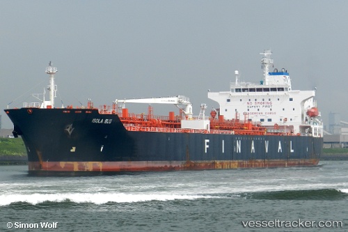
 TURKELI
Current Status
Where is the vessel?
TURKELI is currently in Near NAUERNA, based on AIS data received about 14h ago.
Latest AIS update:
Current position: 52.41345° N, 4.74832° E (Near NAUERNA)
Average speed (last 7 days): Loading…
Average speed (last 30 days): Loading…
Vessel profile: TURKELI is a Oil/Chemical Tanker with dimensions m x m.
This page combines live AIS, route history, probable destination signals, nearby traffic, and port activity for practical vessel monitoring.
The current position of vessel TURKELI is 52.41345 lat / 4.74832 lng. Updated: 2026-05-21 14:03:33 UTCNearest reference points:
- Near NAUERNA
- Near Lijnden
- Near ZAANDAM
Currently sailing under the flag of Panama ![]()
Details:
Live Vessel TURKELI Analytics (details, animations, etc.)
Recent AIS points (UTC):
2026-05-21 11:03:30 UTC · 52.41347, 4.74832 · SOG 0 kn · COG 351°2026-05-21 11:30:53 UTC · 52.41344, 4.74832 · SOG 0 kn · COG 351°
2026-05-21 13:39:31 UTC · 52.41345, 4.74835 · SOG 0 kn · COG 351°
2026-05-21 14:03:33 UTC · 52.41345, 4.74832 · SOG 0 kn · COG 351°