 SRIYULIANI
Current Status
Where is the vessel?
SRIYULIANI is currently in Near Changi, based on AIS data received about 15h ago.
Latest AIS update:
Current position: 1.28896° N, 103.96604° E (Near Changi)
Average speed (last 7 days): Loading…
Average speed (last 30 days): Loading…
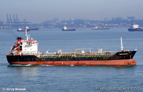
Vessel profile: SRIYULIANI is a Oil Products Tanker with dimensions m x m.
This page combines live AIS, route history, probable destination signals, nearby traffic, and port activity for practical vessel monitoring.
The current position of vessel SRIYULIANI is 1.28896 lat / 103.96604 lng. Updated: 2026-05-21 23:08:46 UTCNearest reference points:
- Near Changi
- Near Tampines
- Near TANAH MERAH
Currently sailing under the flag of Marshall Islands ![]()
Details:
Live Vessel SRIYULIANI Analytics (details, animations, etc.)
Recent AIS points (UTC):
2026-05-21 19:23:52 UTC · 1.28855, 103.96594 · SOG 0 kn · COG 262°2026-05-21 19:26:47 UTC · 1.28854, 103.96591 · SOG 0 kn · COG 264°
2026-05-21 21:45:32 UTC · 1.28833, 103.96500 · SOG 0 kn · COG -1°
2026-05-21 23:08:46 UTC · 1.28896, 103.96604 · SOG 0.1 kn · COG 247°