 MEGHNA ENERGY
Current Status
Where is the vessel?
MEGHNA ENERGY is currently in 81 nm E of Tanjungbatu, based on AIS data received about 14h ago.
Latest AIS update:
Current position: 2.59110° N, 119.39613° E (81 nm E of Tanjungbatu)
Average speed (last 7 days): Loading…
Average speed (last 30 days): Loading…
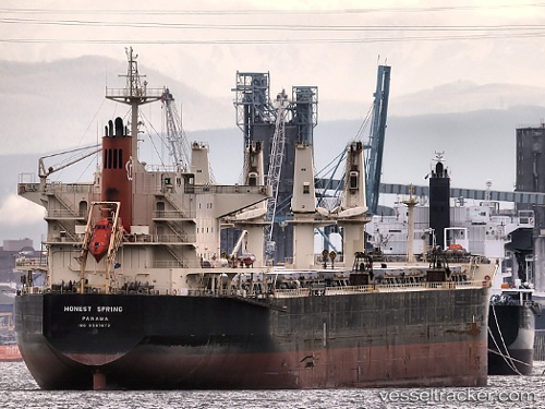
Vessel profile: MEGHNA ENERGY is a Bulk Carrier with dimensions 32m x 190m.
This page combines live AIS, route history, probable destination signals, nearby traffic, and port activity for practical vessel monitoring.
The current position of vessel MEGHNA ENERGY is 2.59110 lat / 119.39613 lng. Updated: 2026-05-21 19:24:26 UTCNearest reference points:
- 81 nm E of Muara Pantai
- 80 nm SE of Labuan Haji
- 43 nm E of Sibuko Bay
Currently sailing under the flag of Bangladesh ![]()
MEGHNA ENERGY built in 2008 year
Deadweight:
55641 tDetails:
Live Vessel MEGHNA ENERGY Analytics (details, animations, etc.)
Recent AIS points (UTC):
2026-05-21 17:32:56 UTC · 2.33022, 119.36157 · SOG 8.8 kn · COG 4°2026-05-21 19:15:27 UTC · 2.56980, 119.39272 · SOG 8.5 kn · COG 5°
2026-05-21 19:15:27 UTC · 2.56980, 119.39272 · SOG 8.5 kn · COG 5°
2026-05-21 19:24:26 UTC · 2.59110, 119.39613 · SOG 8.6 kn · COG 5°