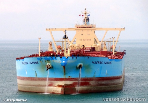
 SHIRAYUKI
Current Status
Where is the vessel?
SHIRAYUKI is currently in 234 nm N of Tinaquillo, based on AIS data received about 15h ago.
Latest AIS update:
Current position: 13.80735° N, 68.43040° E (234 nm N of Tinaquillo)
Average speed (last 7 days): Loading…
Average speed (last 30 days): Loading…
Vessel profile: SHIRAYUKI is a Crude Oil Tanker with dimensions m x m.
This page combines live AIS, route history, probable destination signals, nearby traffic, and port activity for practical vessel monitoring.
The current position of vessel SHIRAYUKI is 13.80735 lat / 68.43040 lng. Updated: 2026-05-21 11:51:24 UTCNearest reference points:
- 198 nm N of Tinaquillo
- 187 nm N of Tinaquillo
- 202 nm NW of Amini Island
Currently sailing under the flag of Liberia ![]()
Details:
Live Vessel SHIRAYUKI Analytics (details, animations, etc.)
Recent AIS points (UTC):
2026-05-21 07:02:54 UTC · 13.06133, 69.06911 · SOG 12.6 kn · COG 326°2026-05-21 10:11:25 UTC · 13.57161, 68.66025 · SOG 11.5 kn · COG 318°
2026-05-21 10:24:04 UTC · 13.60168, 68.63219 · SOG 11.6 kn · COG 318°
2026-05-21 11:51:24 UTC · 13.80735, 68.43040 · SOG 11.7 kn · COG 318°