 DOLE INCA
Current Status
Where is the vessel?
DOLE INCA is currently in 146 nm NE of Marsh Harbour, based on AIS data received about 1d ago.
Latest AIS update:
Current position: 27.84329° N, 74.65318° W (146 nm NE of Marsh Harbour)
Average speed (last 7 days): Loading…
Average speed (last 30 days): Loading…
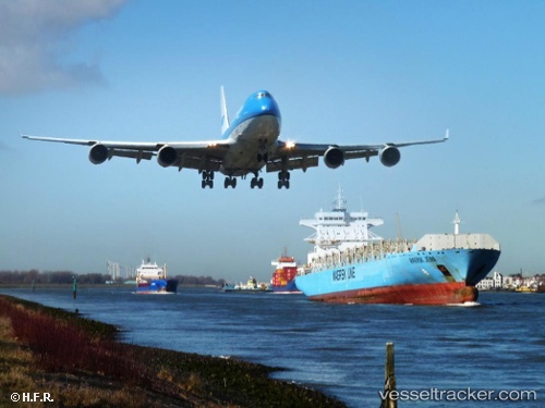
Vessel profile: DOLE INCA is a Container Ship with dimensions m x m.
This page combines live AIS, route history, probable destination signals, nearby traffic, and port activity for practical vessel monitoring.
The current position of vessel DOLE INCA is 27.84329 lat / -74.65318 lng. Updated: 2026-05-19 22:15:10 UTCNearest reference points:
- 113 nm NE of Green Turtle Cay
- 75 nm N of Green Turtle Cay
- 22 nm E of Harbour Island
Currently sailing under the flag of Bahamas ![]()
Details:
Live Vessel DOLE INCA Analytics (details, animations, etc.)
Recent AIS points (UTC):
2026-05-19 22:15:10 UTC · 27.84329, -74.65318 · SOG 17.4 kn · COG 177°2026-05-19 22:15:10 UTC · 27.84329, -74.65318 · SOG 17.4 kn · COG 177°
2026-05-19 22:15:10 UTC · 27.84329, -74.65318 · SOG 17.4 kn · COG 177°
2026-05-19 22:15:10 UTC · 27.84329, -74.65318 · SOG 17.4 kn · COG 177°