 DOLE WARI
Current Status
Where is the vessel?
DOLE WARI is currently in 25 nm SE of HATTERAS, based on AIS data received about 17h ago.
Latest AIS update:
Current position: 35.02629° N, 75.24149° W (25 nm SE of HATTERAS)
Average speed (last 7 days): Loading…
Average speed (last 30 days): Loading…
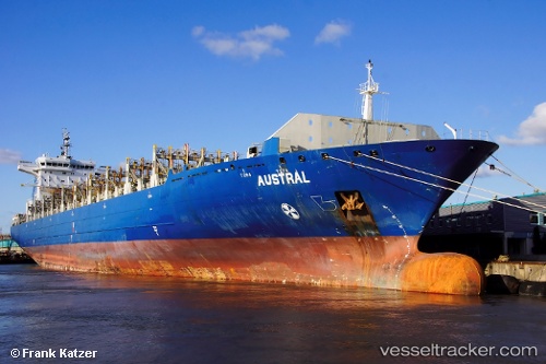
Vessel profile: DOLE WARI is a Container Ship with dimensions m x m.
This page combines live AIS, route history, probable destination signals, nearby traffic, and port activity for practical vessel monitoring.
The current position of vessel DOLE WARI is 35.02629 lat / -75.24149 lng. Updated: 2026-05-23 03:52:10 UTCNearest reference points:
- Near HATTERAS
- 18 nm NE of Rodanthe
- Near Nags Head
Currently sailing under the flag of Bahamas ![]()
Details:
Live Vessel DOLE WARI Analytics (details, animations, etc.)
Recent AIS points (UTC):
2026-05-23 02:51:01 UTC · 34.72870, -75.42117 · SOG 19.8 kn · COG 25°2026-05-23 03:13:00 UTC · 34.83674, -75.35595 · SOG 19.6 kn · COG -1°
2026-05-23 03:52:10 UTC · 35.02629, -75.24149 · SOG 19.6 kn · COG 27°
2026-05-23 03:52:10 UTC · 35.02629, -75.24149 · SOG 19.6 kn · COG 27°