 TG CRAB
Current Status
Where is the vessel?
TG CRAB is currently in 75 nm W of Yanbu al-Bahr, based on AIS data received about 14h ago.
Latest AIS update:
Current position: 23.81780° N, 36.69645° E (75 nm W of Yanbu al-Bahr)
Average speed (last 7 days): Loading…
Average speed (last 30 days): Loading…
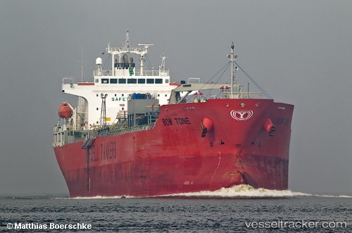
Vessel profile: TG CRAB is a Oil/Chemical Tanker with dimensions m x m.
This page combines live AIS, route history, probable destination signals, nearby traffic, and port activity for practical vessel monitoring.
The current position of vessel TG CRAB is 23.81780 lat / 36.69645 lng. Updated: 2026-05-21 13:06:52 UTCNearest reference points:
- 74 nm SW of Yanbu
- 30 nm SW of Yanbu
- 35 nm S of Umm Lajj
Currently sailing under the flag of Liberia ![]()
Details:
Live Vessel TG CRAB Analytics (details, animations, etc.)
Recent AIS points (UTC):
2026-05-21 09:54:53 UTC · 23.29846, 36.99636 · SOG 10.7 kn · COG 327°2026-05-21 10:48:43 UTC · 23.44181, 36.91125 · SOG 10.7 kn · COG 329°
2026-05-21 11:21:53 UTC · 23.52864, 36.85910 · SOG 10.5 kn · COG 332°
2026-05-21 13:06:52 UTC · 23.81780, 36.69645 · SOG 11.3 kn · COG 333°