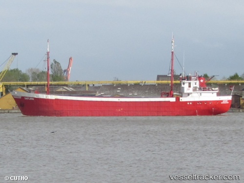
 MONJASA REFINER
Current Status
Where is the vessel?
MONJASA REFINER is currently in 45 nm W of Walvisbaai, based on AIS data received about 14h ago.
Latest AIS update:
Current position: 23.04165° S, 13.69627° E (45 nm W of Walvisbaai)
Average speed (last 7 days): Loading…
Average speed (last 30 days): Loading…
Vessel profile: MONJASA REFINER is a Oil/Chemical Tanker with dimensions m x m.
This page combines live AIS, route history, probable destination signals, nearby traffic, and port activity for practical vessel monitoring.
The current position of vessel MONJASA REFINER is -23.04165 lat / 13.69627 lng. Updated: 2026-05-23 02:00:22 UTCNearest reference points:
- Near WALVIS BAY
- 151 nm W of Henties Bay (Hentiesbaai)
- 161 nm W of Walvisbaai
Currently sailing under the flag of Liberia ![]()
Details:
Live Vessel MONJASA REFINER Analytics (details, animations, etc.)
Recent AIS points (UTC):
2026-05-22 23:07:53 UTC · -23.21559, 13.27195 · SOG 8.6 kn · COG 97°2026-05-22 23:25:03 UTC · -23.19855, 13.31437 · SOG 9.1 kn · COG 59°
2026-05-23 01:52:03 UTC · -23.04892, 13.67503 · SOG 8.9 kn · COG 70°
2026-05-23 02:00:22 UTC · -23.04165, 13.69627 · SOG 9.1 kn · COG 71°