 vesseltracker.com
 AS NINA
Current Status
Where is the vessel?
AS NINA is currently in 13 nm SW of Yopougon, based on AIS data received about 15h ago.
Latest AIS update:
Current position: 5.15801° N, 4.18498° W (13 nm SW of Yopougon)
Average speed (last 7 days): Loading…
Average speed (last 30 days): Loading…
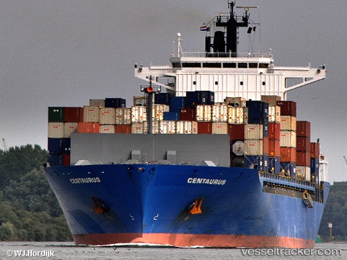
Vessel profile: AS NINA is a Container Ship with dimensions m x m.
This page combines live AIS, route history, probable destination signals, nearby traffic, and port activity for practical vessel monitoring.
The current position of vessel AS NINA is 5.15801 lat / -4.18498 lng. Updated: 2026-05-18 05:48:35 UTCNearest reference points:
- Near Vridi
- Near Abidjan
- Near Espoir
Currently sailing under the flag of Marshall Islands ![]()
Details:
Live Vessel AS NINA Analytics (details, animations, etc.)
Recent AIS points (UTC):
2026-05-18 01:33:26 UTC · 5.15876, -4.18504 · SOG 0.1 kn · COG 258°2026-05-18 04:10:35 UTC · 5.15818, -4.18492 · SOG 0.2 kn · COG 265°
2026-05-18 04:54:11 UTC · 5.15797, -4.18495 · SOG 0.2 kn · COG 269°
2026-05-18 05:48:35 UTC · 5.15801, -4.18498 · SOG 0.1 kn · COG 269°