 IONIAN SUNSHINE
Current Status
Where is the vessel?
IONIAN SUNSHINE is currently in 25 nm SE of Jiazi, based on AIS data received about 14h ago.
Latest AIS update:
Current position: 22.48708° N, 116.22769° E (25 nm SE of Jiazi)
Average speed (last 7 days): Loading…
Average speed (last 30 days): Loading…
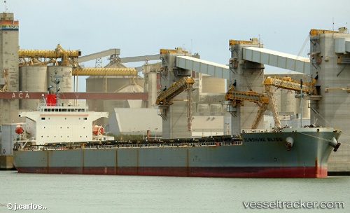
Vessel profile: IONIAN SUNSHINE is a Bulk Carrier with dimensions m x m.
This page combines live AIS, route history, probable destination signals, nearby traffic, and port activity for practical vessel monitoring.
The current position of vessel IONIAN SUNSHINE is 22.48708 lat / 116.22769 lng. Updated: 2026-05-22 01:15:38 UTCNearest reference points:
- 24 nm S of Jinghai
- 12 nm SE of Jiazi
- Near Jiazi
Currently sailing under the flag of Liberia ![]()
Details:
Live Vessel IONIAN SUNSHINE Analytics (details, animations, etc.)
Recent AIS points (UTC):
2026-05-21 19:18:28 UTC · 23.02672, 117.37485 · SOG 11.2 kn · COG 228°2026-05-21 21:37:50 UTC · 22.80747, 116.94728 · SOG 12.4 kn · COG -1°
2026-05-21 23:11:07 UTC · 22.66093, 116.63890 · SOG 12.3 kn · COG 254°
2026-05-22 01:15:38 UTC · 22.48708, 116.22769 · SOG 11.9 kn · COG 247°