 VELOS EMERALD
Current Status
Where is the vessel?
VELOS EMERALD is currently in 40 nm SW of Bentota River Apt, based on AIS data received about 15h ago.
Latest AIS update:
Current position: 6.03367° N, 79.43523° E (40 nm SW of Bentota River Apt)
Average speed (last 7 days): Loading…
Average speed (last 30 days): Loading…
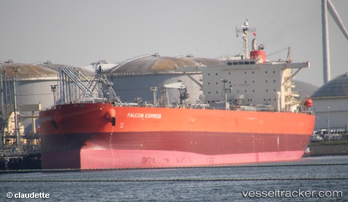
Vessel profile: VELOS EMERALD is a Crude Oil Tanker with dimensions 244m x 244m.
This page combines live AIS, route history, probable destination signals, nearby traffic, and port activity for practical vessel monitoring.
The current position of vessel VELOS EMERALD is 6.03367 lat / 79.43523 lng. Updated: 2026-05-21 19:39:25 UTCNearest reference points:
- 19 nm SW of Bataduwa
- 38 nm SW of Galle
- 67 nm SW of Moratuwa
Currently sailing under the flag of Marshall Islands ![]()
VELOS EMERALD built in 2008 year
Deadweight:
115042 tDetails:
Live Vessel VELOS EMERALD Analytics (details, animations, etc.)
Recent AIS points (UTC):
2026-05-21 15:38:28 UTC · 6.37028, 78.72295 · SOG 11.9 kn · COG 113°2026-05-21 18:06:01 UTC · 6.15507, 79.14883 · SOG 11.1 kn · COG -1°
2026-05-21 19:21:08 UTC · 6.05783, 79.37898 · SOG 11.8 kn · COG -1°
2026-05-21 19:39:25 UTC · 6.03367, 79.43523 · SOG 11.6 kn · COG 105°