 NAVIGATOR VESTA
Current Status
Where is the vessel?
NAVIGATOR VESTA is currently in 150 nm N of Chapineria, based on AIS data received about 14h ago.
Latest AIS update:
Current position: 42.80333° N, 40.49679° W (150 nm N of Chapineria)
Average speed (last 7 days): Loading…
Average speed (last 30 days): Loading…
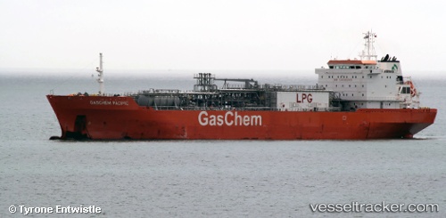
Vessel profile: NAVIGATOR VESTA is a Lpg Tanker with dimensions m x m.
This page combines live AIS, route history, probable destination signals, nearby traffic, and port activity for practical vessel monitoring.
The current position of vessel NAVIGATOR VESTA is 42.80333 lat / -40.49679 lng. Updated: 2026-05-22 02:18:52 UTCCurrently sailing under the flag of Liberia ![]()
Details:
Live Vessel NAVIGATOR VESTA Analytics (details, animations, etc.)
Recent AIS points (UTC):
2026-05-21 21:22:31 UTC · 42.45755, -41.89731 · SOG 13.8 kn · COG 67°2026-05-21 22:40:51 UTC · 42.55583, -41.51298 · SOG 13.9 kn · COG 70°
2026-05-22 01:03:54 UTC · 42.70562, -40.83310 · SOG 12.7 kn · COG 74°
2026-05-22 02:18:52 UTC · 42.80333, -40.49679 · SOG 12.8 kn · COG 68°