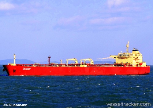
 THRON
THRON
Current Status
Where is the vessel?
THRON is currently in 123 nm SW of Okha, based on AIS data received about 14h ago.
Latest AIS update:
Current position: 21.65625° N, 67.05988° E (123 nm SW of Okha)
Average speed (last 7 days): Loading…
Average speed (last 30 days): Loading…
Vessel profile: THRON is a Crude Oil Tanker with dimensions m x m.
This page combines live AIS, route history, probable destination signals, nearby traffic, and port activity for practical vessel monitoring.
The current position of vessel THRON is 21.65625 lat / 67.05988 lng. Updated: 2026-05-21 11:54:31 UTCNearest reference points:
- 49 nm S of Positra
- 84 nm SW of Keti Bandar
- 54 nm S of Positra
Currently sailing under the flag of Cameroon ![]()
Details:
Live Vessel THRON Analytics (details, animations, etc.)
Recent AIS points (UTC):
2026-05-21 08:04:22 UTC · 21.77690, 67.89828 · SOG 12.5 kn · COG 257°2026-05-21 10:09:40 UTC · 21.70707, 67.44632 · SOG 12.5 kn · COG 260°
2026-05-21 10:31:08 UTC · 21.69553, 67.36736 · SOG 12.6 kn · COG 262°
2026-05-21 11:54:31 UTC · 21.65625, 67.05988 · SOG 13 kn · COG 253°