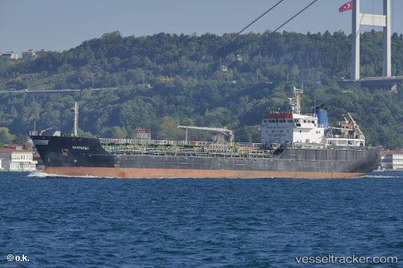
 SAMPATIKI
Current Status
Where is the vessel?
SAMPATIKI is currently in Near Kalamaki, based on AIS data received about 15h ago.
Latest AIS update:
Current position: 37.89883° N, 23.03326° E (Near Kalamaki)
Average speed (last 7 days): Loading…
Average speed (last 30 days): Loading…
Vessel profile: SAMPATIKI is a Oil/Chemical Tanker with dimensions m x m.
This page combines live AIS, route history, probable destination signals, nearby traffic, and port activity for practical vessel monitoring.
The current position of vessel SAMPATIKI is 37.89883 lat / 23.03326 lng. Updated: 2026-05-18 19:59:59 UTCNearest reference points:
- Near AGIOI THEODORI
- Near Náfplion
- Near PERDIKA
Currently sailing under the flag of Greece ![]()
Details:
Live Vessel SAMPATIKI Analytics (details, animations, etc.)
Recent AIS points (UTC):
2026-05-18 16:54:02 UTC · 37.89800, 23.03294 · SOG 0.2 kn · COG 78°2026-05-18 18:21:05 UTC · 37.89865, 23.03286 · SOG 0.1 kn · COG 118°
2026-05-18 19:30:01 UTC · 37.89877, 23.03337 · SOG 0.1 kn · COG 119°
2026-05-18 19:59:59 UTC · 37.89883, 23.03326 · SOG 0.1 kn · COG 129°