 Golden State
Current Status
Where is the vessel?
Golden State is currently in 14 nm SE of Isle of Palms, based on AIS data received about 14h ago.
Latest AIS update:
Current position: 32.64283° N, 79.53180° W (14 nm SE of Isle of Palms)
Average speed (last 7 days): Loading…
Average speed (last 30 days): Loading…
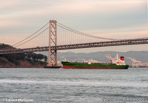
Vessel profile: Golden State is a Chemical Oil Products Tanker with dimensions 183m x 32m.
This page combines live AIS, route history, probable destination signals, nearby traffic, and port activity for practical vessel monitoring.
The current position of vessel Golden State is 32.64283 lat / -79.53180 lng. Updated: 2026-05-21 13:57:41 UTCNearest reference points:
- Near Charleston
- 33 nm S of Kiawah Island
- Near North Myrtle Beach
Currently sailing under the flag of USA ![]()
Golden State built in 2008 year
Deadweight:
48632 tDetails:
Live Vessel Golden State Analytics (details, animations, etc.)
Recent AIS points (UTC):
2026-05-21 10:43:24 UTC · 32.50159, -79.53307 · SOG 10.8 kn · COG 355°2026-05-21 11:57:40 UTC · 32.64290, -79.53069 · SOG 0.5 kn · COG 188°
2026-05-21 13:39:40 UTC · 32.64274, -79.53190 · SOG 0.1 kn · COG 139°
2026-05-21 13:57:41 UTC · 32.64283, -79.53180 · SOG 0.1 kn · COG 141°