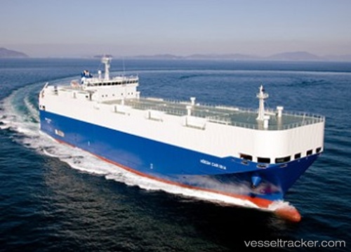
 HOEGH CARIBIA
Current Status
Where is the vessel?
HOEGH CARIBIA is currently in 124 nm NE of Enmore, based on AIS data received about 15h ago.
Latest AIS update:
Current position: 8.38500° N, 56.69333° W (124 nm NE of Enmore)
Average speed (last 7 days): Loading…
Average speed (last 30 days): Loading…
Vessel profile: HOEGH CARIBIA is a Vehicles Carrier with dimensions 140m x 22m.
This page combines live AIS, route history, probable destination signals, nearby traffic, and port activity for practical vessel monitoring.
The current position of vessel HOEGH CARIBIA is 8.38500 lat / -56.69333 lng. Updated: 2026-05-20 17:34:24 UTCNearest reference points:
- 57 nm NE of Adventure
- 38 nm NW of Jarikaba
Currently sailing under the flag of Marshall Islands ![]()
HOEGH CARIBIA built in 2010 year
Deadweight:
5493 tDetails:
Live Vessel HOEGH CARIBIA Analytics (details, animations, etc.)
Recent AIS points (UTC):
2026-05-20 13:47:11 UTC · 7.75731, -55.77968 · SOG 17.1 kn · COG 307°2026-05-20 15:47:00 UTC · 8.09583, -56.26192 · SOG 17 kn · COG 309°
2026-05-20 16:22:23 UTC · 8.19167, -56.40333 · SOG 17 kn · COG -1°
2026-05-20 17:34:24 UTC · 8.38500, -56.69333 · SOG 17 kn · COG -1°