 LING HONG
Current Status
Where is the vessel?
LING HONG is currently in 16 nm SW of Okha, based on AIS data received about 14h ago.
Latest AIS update:
Current position: 22.36340° N, 68.83288° E (16 nm SW of Okha)
Average speed (last 7 days): Loading…
Average speed (last 30 days): Loading…
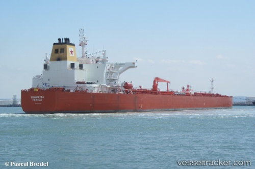
Vessel profile: LING HONG is a Crude Oil Tanker with dimensions m x m.
This page combines live AIS, route history, probable destination signals, nearby traffic, and port activity for practical vessel monitoring.
The current position of vessel LING HONG is 22.36340 lat / 68.83288 lng. Updated: 2026-05-23 09:55:14 UTCNearest reference points:
- 13 nm W of Måndvi
- Near Khambhaliya
- 49 nm S of Positra
Currently sailing under the flag of Panama ![]()
Details:
Live Vessel LING HONG Analytics (details, animations, etc.)
Recent AIS points (UTC):
2026-05-23 06:06:45 UTC · 21.72465, 68.93937 · SOG 10.1 kn · COG 342°2026-05-23 07:26:04 UTC · 21.93863, 68.86243 · SOG 10.1 kn · COG 339°
2026-05-23 07:41:05 UTC · 21.97867, 68.84608 · SOG 10.2 kn · COG 338°
2026-05-23 09:55:14 UTC · 22.36340, 68.83288 · SOG 11.5 kn · COG -1°