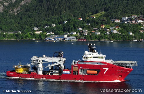
 SKANDI SEVEN
Current Status
Where is the vessel?
SKANDI SEVEN is currently in 15 nm W of Armada Olombendo FPSO, based on AIS data received about 15h ago.
Latest AIS update:
Current position: 6.06980° S, 11.09163° E (15 nm W of Armada Olombendo FPSO)
Average speed (last 7 days): Loading…
Average speed (last 30 days): Loading…
Vessel profile: SKANDI SEVEN is a Offshore Supply Ship with dimensions m x m.
This page combines live AIS, route history, probable destination signals, nearby traffic, and port activity for practical vessel monitoring.
The current position of vessel SKANDI SEVEN is -6.06980 lat / 11.09163 lng. Updated: 2026-05-19 19:19:37 UTCNearest reference points:
- Near N'Kossa Terminal
- 11 nm W of Cabinda
- Near SOYO
Currently sailing under the flag of Norway ![]()
Details:
Live Vessel SKANDI SEVEN Analytics (details, animations, etc.)
Recent AIS points (UTC):
2026-05-19 16:14:52 UTC · -6.07833, 11.04500 · SOG 5 kn · COG -1°2026-05-19 17:18:22 UTC · -6.06691, 11.08870 · SOG 0.4 kn · COG 200°
2026-05-19 19:19:37 UTC · -6.06980, 11.09163 · SOG 0.5 kn · COG -1°
2026-05-19 19:19:37 UTC · -6.06980, 11.09163 · SOG 0.5 kn · COG -1°