 KANDLA EXPRESS
Current Status
Where is the vessel?
KANDLA EXPRESS is currently in 231 nm S of El Ranchito, based on AIS data received about 14h ago.
Latest AIS update:
Current position: 14.97692° N, 104.79780° W (231 nm S of El Ranchito)
Average speed (last 7 days): Loading…
Average speed (last 30 days): Loading…
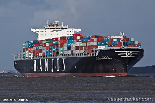
Vessel profile: KANDLA EXPRESS is a Container Ship with dimensions m x m.
This page combines live AIS, route history, probable destination signals, nearby traffic, and port activity for practical vessel monitoring.
The current position of vessel KANDLA EXPRESS is 14.97692 lat / -104.79780 lng. Updated: 2026-05-22 11:01:33 UTCNearest reference points:
- Open sea, approx. 401 nm off the nearest listed port
- Open sea, approx. 404 nm off the nearest listed port
- Open sea, approx. 410 nm off the nearest listed port
Currently sailing under the flag of Liberia ![]()
Details:
Live Vessel KANDLA EXPRESS Analytics (details, animations, etc.)
Recent AIS points (UTC):
2026-05-22 07:15:24 UTC · 14.52675, -103.58722 · SOG 20.5 kn · COG 290°2026-05-22 07:41:55 UTC · 14.58168, -103.73124 · SOG 20.1 kn · COG 288°
2026-05-22 09:31:17 UTC · 14.79429, -104.32286 · SOG 19.9 kn · COG 290°
2026-05-22 11:01:33 UTC · 14.97692, -104.79780 · SOG 19.7 kn · COG 290°