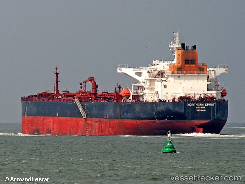
Kalahari
Current StatusWhere is the vessel?
Kalahari is currently in 51 nm SW of Santa Rosa Island, based on AIS data received about 15h ago.
Latest AIS update:
Current position: 33.45823° N, 120.93950° W (51 nm SW of Santa Rosa Island)
Average speed (last 7 days): Loading…
Average speed (last 30 days): Loading…
Vessel profile: Kalahari is a Crude Oil Tanker with dimensions 44m x 250m.
This page combines live AIS, route history, probable destination signals, nearby traffic, and port activity for practical vessel monitoring.
The current position of vessel Kalahari is 33.45823 lat / -120.93950 lng. Updated: 2026-05-23 07:41:17 UTCNearest reference points:
- Near Santa Barbara
- Near VENTURA
- Near CHANNEL ISLANDS
Details:
Live Vessel Kalahari Analytics (details, animations, etc.)
Recent AIS points (UTC):
2026-05-23 05:09:31 UTC · 33.85333, -121.28833 · SOG 2 kn · COG -1°2026-05-23 05:57:32 UTC · 33.75333, -121.19167 · SOG 12 kn · COG -1°
2026-05-23 07:20:26 UTC · 33.51629, -120.99189 · SOG 12.4 kn · COG 142°
2026-05-23 07:41:17 UTC · 33.45823, -120.93950 · SOG 12.4 kn · COG 141°