 NEW LIBERTY
Current Status
Where is the vessel?
NEW LIBERTY is currently in Near PENGERANG, based on AIS data received about 14h ago.
Latest AIS update:
Current position: 1.30533° N, 104.27209° E (Near PENGERANG)
Average speed (last 7 days): Loading…
Average speed (last 30 days): Loading…
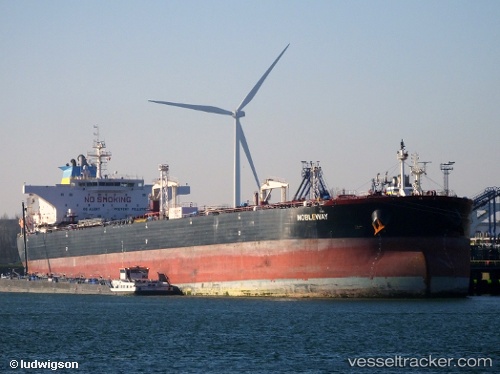
Vessel profile: NEW LIBERTY is a Crude Oil Tanker with dimensions m x m.
This page combines live AIS, route history, probable destination signals, nearby traffic, and port activity for practical vessel monitoring.
The current position of vessel NEW LIBERTY is 1.30533 lat / 104.27209 lng. Updated: 2026-05-22 02:28:03 UTCNearest reference points:
- Near PENGERANG
- Near TANAH MERAH
- Near Tanjung Setapa
Currently sailing under the flag of Panama ![]()
Details:
Live Vessel NEW LIBERTY Analytics (details, animations, etc.)
Recent AIS points (UTC):
2026-05-21 21:47:42 UTC · 1.73914, 104.53559 · SOG 8.9 kn · COG 196°2026-05-21 23:11:12 UTC · 1.52430, 104.49052 · SOG 9 kn · COG 193°
2026-05-22 01:17:04 UTC · 1.34572, 104.36028 · SOG 4.6 kn · COG 224°
2026-05-22 02:28:03 UTC · 1.30533, 104.27209 · SOG 4.8 kn · COG 255°