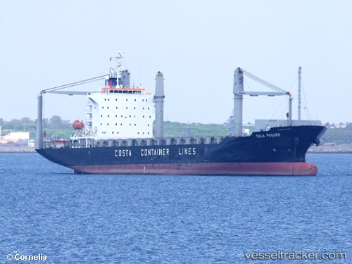
 Cala Paguro
Current Status
Where is the vessel?
Cala Paguro is currently in 65 nm SW of Sittwe Harbor, based on AIS data received about 1d ago.
Latest AIS update:
Current position: 19.23721° N, 92.27553° E (65 nm SW of Sittwe Harbor)
Average speed (last 7 days): Loading…
Average speed (last 30 days): Loading…
Vessel profile: Cala Paguro is a Container Ship with dimensions 172m x 28m.
This page combines live AIS, route history, probable destination signals, nearby traffic, and port activity for practical vessel monitoring.
The current position of vessel Cala Paguro is 19.23721 lat / 92.27553 lng. Updated: 2026-05-19 21:09:50 UTCNearest reference points:
- 73 nm SW of KYAUKPYU
- 36 nm SE of Cox's Bazar
Currently sailing under the flag of Liberia ![]()
Cala Paguro built in 2007 year
Deadweight:
21442 tDetails:
Live Vessel Cala Paguro Analytics (details, animations, etc.)
Recent AIS points (UTC):
2026-05-19 21:09:50 UTC · 19.23721, 92.27553 · SOG 11.1 kn · COG -1°2026-05-19 21:09:50 UTC · 19.23721, 92.27553 · SOG 11.1 kn · COG -1°
2026-05-19 21:09:50 UTC · 19.23721, 92.27553 · SOG 11.1 kn · COG -1°
2026-05-19 21:09:50 UTC · 19.23721, 92.27553 · SOG 11.1 kn · COG -1°