 ARROW
ARROW
Current Status
Where is the vessel?
ARROW is currently in 99 nm SE of Aljouf, based on AIS data received about 15h ago.
Latest AIS update:
Current position: 12.56833° N, 46.93167° E (99 nm SE of Aljouf)
Average speed (last 7 days): Loading…
Average speed (last 30 days): Loading…
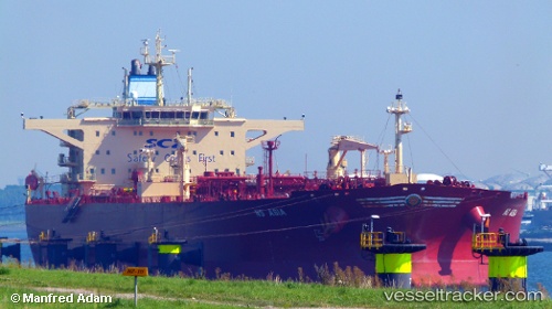
Vessel profile: ARROW is a Crude Oil Tanker with dimensions m x m.
This page combines live AIS, route history, probable destination signals, nearby traffic, and port activity for practical vessel monitoring.
The current position of vessel ARROW is 12.56833 lat / 46.93167 lng. Updated: 2026-05-23 07:47:47 UTCCurrently sailing under the flag of Oman ![]()
Details:
Live Vessel ARROW Analytics (details, animations, etc.)
Recent AIS points (UTC):
2026-05-23 04:14:51 UTC · 12.79500, 47.67500 · SOG 13 kn · COG -1°2026-05-23 05:45:15 UTC · 12.69254, 47.34803 · SOG 12.7 kn · COG 259°
2026-05-23 07:14:23 UTC · 12.60145, 47.04486 · SOG 12.4 kn · COG 259°
2026-05-23 07:47:47 UTC · 12.56833, 46.93167 · SOG 12 kn · COG -1°