 ATLANTIC SOUTH
Current Status
Where is the vessel?
ATLANTIC SOUTH is currently in 12 nm S of Oga, based on AIS data received about 14h ago.
Latest AIS update:
Current position: 39.68333° N, 139.76666° E (12 nm S of Oga)
Average speed (last 7 days): Loading…
Average speed (last 30 days): Loading…
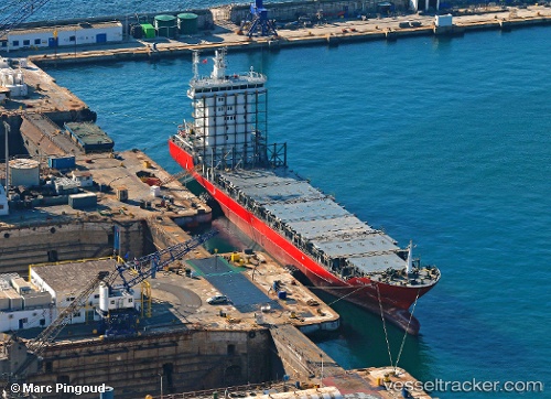
Vessel profile: ATLANTIC SOUTH is a Container Ship with dimensions m x m.
This page combines live AIS, route history, probable destination signals, nearby traffic, and port activity for practical vessel monitoring.
The current position of vessel ATLANTIC SOUTH is 39.68333 lat / 139.76666 lng. Updated: 2026-05-21 07:47:11 UTCNearest reference points:
- Near Shiogama
- Near ISHINOMAKI
- Near Yokohama, Aomori
Currently sailing under the flag of Singapore ![]()
Details:
Live Vessel ATLANTIC SOUTH Analytics (details, animations, etc.)
Recent AIS points (UTC):
2026-05-21 04:23:08 UTC · 39.76667, 140.03833 · SOG 0 kn · COG -1°2026-05-21 06:10:12 UTC · 39.76820, 140.03928 · SOG 0.1 kn · COG 255°
2026-05-21 07:13:53 UTC · 39.75432, 139.87041 · SOG 12.1 kn · COG 239°
2026-05-21 07:47:11 UTC · 39.68333, 139.76666 · SOG 8 kn · COG -1°