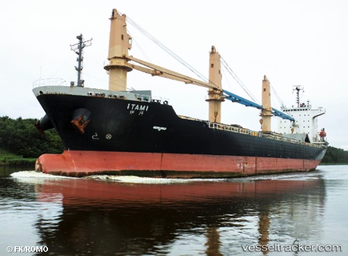
 SUNNY CAMELLIA
Current Status
Where is the vessel?
SUNNY CAMELLIA is currently in 138 nm W of Ile Desroches, based on AIS data received about 14h ago.
Latest AIS update:
Current position: 5.32940° S, 51.40048° E (138 nm W of Ile Desroches)
Average speed (last 7 days): Loading…
Average speed (last 30 days): Loading…
Vessel profile: SUNNY CAMELLIA is a General Cargo with dimensions m x m.
This page combines live AIS, route history, probable destination signals, nearby traffic, and port activity for practical vessel monitoring.
The current position of vessel SUNNY CAMELLIA is -5.32940 lat / 51.40048 lng. Updated: 2026-05-22 05:53:46 UTCNearest reference points:
- 118 nm W of Ile Desroches
- 219 nm W of Ile Desroches
- Near Ile Desroches
Currently sailing under the flag of Panama ![]()
Details:
Live Vessel SUNNY CAMELLIA Analytics (details, animations, etc.)
Recent AIS points (UTC):
2026-05-22 02:14:33 UTC · -5.94993, 51.02840 · SOG 12.4 kn · COG 34°2026-05-22 03:38:03 UTC · -5.71420, 51.16855 · SOG 11.8 kn · COG 35°
2026-05-22 04:33:44 UTC · -5.55795, 51.26208 · SOG 11.7 kn · COG 36°
2026-05-22 05:53:46 UTC · -5.32940, 51.40048 · SOG 12.2 kn · COG 33°