 OCEAN THUNDER
Current Status
Where is the vessel?
OCEAN THUNDER is currently in Open sea (no nearby ports in database), based on AIS data received about 14h ago.
Latest AIS update:
Current position: 11.98526° N, 61.43558° E (Open sea (no nearby ports in database))
Average speed (last 7 days): Loading…
Average speed (last 30 days): Loading…
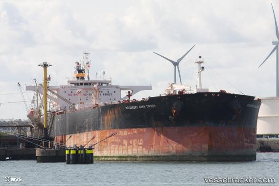
Vessel profile: OCEAN THUNDER is a Crude Oil Tanker with dimensions m x m.
This page combines live AIS, route history, probable destination signals, nearby traffic, and port activity for practical vessel monitoring.
The current position of vessel OCEAN THUNDER is 11.98526 lat / 61.43558 lng. Updated: 2026-05-21 14:20:50 UTCNearest reference points:
- Open sea (no nearby ports in database)
- Open sea, approx. 420 nm off the nearest listed port
- Open sea, approx. 473 nm off the nearest listed port
Currently sailing under the flag of Panama ![]()
Details:
Live Vessel OCEAN THUNDER Analytics (details, animations, etc.)
Recent AIS points (UTC):
2026-05-21 10:35:50 UTC · 11.69991, 62.18525 · SOG 12.2 kn · COG 291°2026-05-21 11:52:23 UTC · 11.80377, 61.93485 · SOG 12.8 kn · COG 292°
2026-05-21 13:10:49 UTC · 11.89421, 61.66898 · SOG 12.7 kn · COG 290°
2026-05-21 14:20:50 UTC · 11.98526, 61.43558 · SOG 12.4 kn · COG 285°