 Gh Columbia
Current Status
Where is the vessel?
Gh Columbia is currently in 83 nm N of Port Blair, based on AIS data received about 17h ago.
Latest AIS update:
Current position: 13.00500° N, 93.14500° E (83 nm N of Port Blair)
Average speed (last 7 days): Loading…
Average speed (last 30 days): Loading…
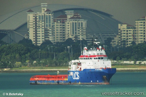
Vessel profile: Gh Columbia is a Offshore Tug Supply Ship with dimensions 76m x 16m.
This page combines live AIS, route history, probable destination signals, nearby traffic, and port activity for practical vessel monitoring.
The current position of vessel Gh Columbia is 13.00500 lat / 93.14500 lng. Updated: 2026-05-20 07:18:08 UTCNearest reference points:
- Near Port Blair
- 120 nm W of Port Blair
Currently sailing under the flag of Antigua Barbuda ![]()
Gh Columbia built in 2009 year
Deadweight:
3005 tDetails:
Live Vessel Gh Columbia Analytics (details, animations, etc.)
Recent AIS points (UTC):
2026-05-20 07:18:08 UTC · 13.00500, 93.14500 · SOG 0 kn · COG -1°2026-05-20 07:18:08 UTC · 13.00500, 93.14500 · SOG 0 kn · COG -1°
2026-05-20 07:18:08 UTC · 13.00500, 93.14500 · SOG 0 kn · COG -1°
2026-05-20 07:18:08 UTC · 13.00500, 93.14500 · SOG 0 kn · COG -1°