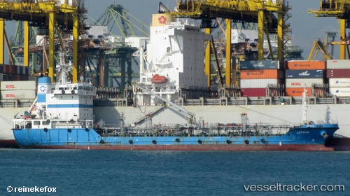
 LEFKAS
Current Status
Where is the vessel?
LEFKAS is currently in Near Oye-Plage, based on AIS data received about 14h ago.
Latest AIS update:
Current position: 51.08297° N, 1.97414° E (Near Oye-Plage)
Average speed (last 7 days): Loading…
Average speed (last 30 days): Loading…
Vessel profile: LEFKAS is a Oil Products Tanker with dimensions m x m.
This page combines live AIS, route history, probable destination signals, nearby traffic, and port activity for practical vessel monitoring.
The current position of vessel LEFKAS is 51.08297 lat / 1.97414 lng. Updated: 2026-05-22 01:26:21 UTCNearest reference points:
- Near Calais
- 15 nm E of RAMSGATE
- 14 nm SE of RAMSGATE
Currently sailing under the flag of Cyprus ![]()
Details:
Live Vessel LEFKAS Analytics (details, animations, etc.)
Recent AIS points (UTC):
2026-05-21 20:12:02 UTC · 51.61841, 3.17214 · SOG 9.9 kn · COG 190°2026-05-21 21:53:51 UTC · 51.42641, 2.80776 · SOG 12 kn · COG 251°
2026-05-21 22:09:12 UTC · 51.39640, 2.74157 · SOG 12 kn · COG 231°
2026-05-22 01:26:21 UTC · 51.08297, 1.97414 · SOG 10.4 kn · COG 244°