 SELAM
SELAM
Current Status
Where is the vessel?
SELAM is currently in Near Davutpasa, based on AIS data received about 14h ago.
Latest AIS update:
Current position: 40.98222° N, 28.94082° E (Near Davutpasa)
Average speed (last 7 days): Loading…
Average speed (last 30 days): Loading…
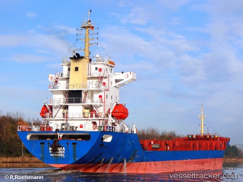
Vessel profile: SELAM is a General Cargo with dimensions m x m.
This page combines live AIS, route history, probable destination signals, nearby traffic, and port activity for practical vessel monitoring.
The current position of vessel SELAM is 40.98222 lat / 28.94082 lng. Updated: 2026-05-18 18:20:51 UTCNearest reference points:
- Near Davutpasa
- Near ZEYTINBURNU
- Near Mardas
Currently sailing under the flag of Saint Kitts and Nevis ![]()
Details:
Live Vessel SELAM Analytics (details, animations, etc.)
Recent AIS points (UTC):
2026-05-18 13:32:47 UTC · 40.98216, 28.94098 · SOG 0 kn · COG 257°2026-05-18 15:59:50 UTC · 40.98196, 28.94096 · SOG 0 kn · COG 267°
2026-05-18 16:50:52 UTC · 40.98219, 28.94082 · SOG 0.1 kn · COG 249°
2026-05-18 18:20:51 UTC · 40.98222, 28.94082 · SOG 0 kn · COG 251°