 ST.SOFIA
Current Status
Where is the vessel?
ST.SOFIA is currently in Near Mersin, based on AIS data received about 14h ago.
Latest AIS update:
Current position: 36.70696° N, 34.64261° E (Near Mersin)
Average speed (last 7 days): Loading…
Average speed (last 30 days): Loading…
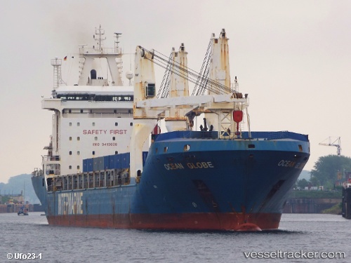
Vessel profile: ST.SOFIA is a General Cargo with dimensions m x m.
This page combines live AIS, route history, probable destination signals, nearby traffic, and port activity for practical vessel monitoring.
The current position of vessel ST.SOFIA is 36.70696 lat / 34.64261 lng. Updated: 2026-05-21 03:50:52 UTCNearest reference points:
- Near Mersin
- Near Mersin-Free Zone
- Near YUMURTALIC
Currently sailing under the flag of Liberia ![]()
Details:
Live Vessel ST.SOFIA Analytics (details, animations, etc.)
Recent AIS points (UTC):
2026-05-21 00:18:47 UTC · 36.70820, 34.64328 · SOG 0.1 kn · COG 127°2026-05-21 01:00:49 UTC · 36.70789, 34.64302 · SOG 0.1 kn · COG 113°
2026-05-21 02:00:48 UTC · 36.70809, 34.64306 · SOG 0 kn · COG 127°
2026-05-21 03:50:52 UTC · 36.70696, 34.64261 · SOG 0 kn · COG 91°