 BIRCH ARROW
Current Status
Where is the vessel?
BIRCH ARROW is currently in 221 nm SE of Mar Del Plata, based on AIS data received about 14h ago.
Latest AIS update:
Current position: 41.13958° S, 54.95720° W (221 nm SE of Mar Del Plata)
Average speed (last 7 days): Loading…
Average speed (last 30 days): Loading…
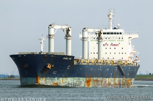
Vessel profile: BIRCH ARROW is a General Cargo with dimensions m x m.
This page combines live AIS, route history, probable destination signals, nearby traffic, and port activity for practical vessel monitoring.
The current position of vessel BIRCH ARROW is -41.13958 lat / -54.95720 lng. Updated: 2026-05-23 06:21:10 UTCNearest reference points:
- 361 nm SE of Quequen
Currently sailing under the flag of Bahamas ![]()
Details:
Live Vessel BIRCH ARROW Analytics (details, animations, etc.)
Recent AIS points (UTC):
2026-05-23 02:05:54 UTC · -41.91111, -55.69958 · SOG 13 kn · COG 39°2026-05-23 04:01:55 UTC · -41.56510, -55.36475 · SOG 13.1 kn · COG 39°
2026-05-23 04:52:49 UTC · -41.41102, -55.21633 · SOG 13.6 kn · COG 39°
2026-05-23 06:21:10 UTC · -41.13958, -54.95720 · SOG 13.4 kn · COG 39°