 ELM ARROW
Current Status
Where is the vessel?
ELM ARROW is currently in Near MEJILLONES, based on AIS data received about 14h ago.
Latest AIS update:
Current position: 23.06667° S, 70.38667° W (Near MEJILLONES)
Average speed (last 7 days): Loading…
Average speed (last 30 days): Loading…
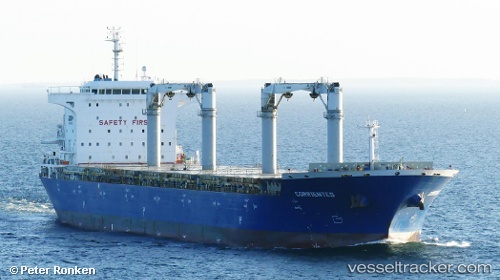
Vessel profile: ELM ARROW is a General Cargo with dimensions m x m.
This page combines live AIS, route history, probable destination signals, nearby traffic, and port activity for practical vessel monitoring.
The current position of vessel ELM ARROW is -23.06667 lat / -70.38667 lng. Updated: 2026-05-23 02:50:32 UTCNearest reference points:
- 17 nm W of Puerto Angamos
Currently sailing under the flag of Bahamas ![]()
Details:
Live Vessel ELM ARROW Analytics (details, animations, etc.)
Recent AIS points (UTC):
2026-05-22 22:59:27 UTC · -23.06667, -70.38667 · SOG 0 kn · COG -1°2026-05-23 00:20:45 UTC · -23.06731, -70.38676 · SOG 0 kn · COG -1°
2026-05-23 01:26:33 UTC · -23.06667, -70.38667 · SOG 0 kn · COG -1°
2026-05-23 02:50:32 UTC · -23.06667, -70.38667 · SOG 0 kn · COG -1°