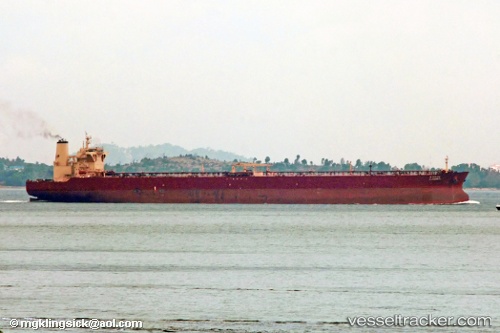
 NISSOS HERACLEA
Current Status
Where is the vessel?
NISSOS HERACLEA is currently in 102 nm SE of SUR, based on AIS data received about 14h ago.
Latest AIS update:
Current position: 21.70431° N, 61.10852° E (102 nm SE of SUR)
Average speed (last 7 days): Loading…
Average speed (last 30 days): Loading…
Vessel profile: NISSOS HERACLEA is a Tanker with dimensions m x m.
This page combines live AIS, route history, probable destination signals, nearby traffic, and port activity for practical vessel monitoring.
The current position of vessel NISSOS HERACLEA is 21.70431 lat / 61.10852 lng. Updated: 2026-05-19 13:31:16 UTCNearest reference points:
- 90 nm SE of SUR
- 96 nm E of SUR
- 120 nm E of SUR
Currently sailing under the flag of Liberia ![]()
Details:
Live Vessel NISSOS HERACLEA Analytics (details, animations, etc.)
Recent AIS points (UTC):
2026-05-19 10:19:31 UTC · 22.26119, 60.58710 · SOG 13.6 kn · COG 135°2026-05-19 11:54:09 UTC · 21.98881, 60.84208 · SOG 13.8 kn · COG 138°
2026-05-19 13:27:25 UTC · 21.71527, 61.09763 · SOG 13.9 kn · COG 135°
2026-05-19 13:31:16 UTC · 21.70431, 61.10852 · SOG 13.9 kn · COG 136°