 FIDAN
FIDAN
Current Status
Where is the vessel?
FIDAN is currently in 21 nm SE of Paranagua, based on AIS data received about 14h ago.
Latest AIS update:
Current position: 25.63997° S, 48.16818° W (21 nm SE of Paranagua)
Average speed (last 7 days): Loading…
Average speed (last 30 days): Loading…
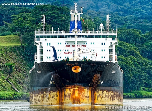
Vessel profile: FIDAN is a Chemical/Oil Products Tanker with dimensions 183m x 32m.
This page combines live AIS, route history, probable destination signals, nearby traffic, and port activity for practical vessel monitoring.
The current position of vessel FIDAN is -25.63997 lat / -48.16818 lng. Updated: 2026-05-20 02:03:48 UTCNearest reference points:
- 24 nm E of Caioba
- 32 nm E of Caioba
- 10 nm NE of CAMBORIU
Currently sailing under the flag of Marshall Islands ![]()
FIDAN built in 2009 year
Deadweight:
49999 tDetails:
Live Vessel FIDAN Analytics (details, animations, etc.)
Recent AIS points (UTC):
2026-05-19 22:57:31 UTC · -25.63997, -48.16812 · SOG 0 kn · COG 161°2026-05-19 23:48:36 UTC · -25.64007, -48.16835 · SOG 0 kn · COG -1°
2026-05-20 01:43:30 UTC · -25.64016, -48.16840 · SOG 0.1 kn · COG -1°
2026-05-20 02:03:48 UTC · -25.63997, -48.16818 · SOG 0.1 kn · COG -1°