 PALENA STAR
Current Status
Where is the vessel?
PALENA STAR is currently in 21 nm E of Magdalena, based on AIS data received about 14h ago.
Latest AIS update:
Current position: 35.01808° S, 57.18558° W (21 nm E of Magdalena)
Average speed (last 7 days): Loading…
Average speed (last 30 days): Loading…
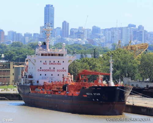
Vessel profile: PALENA STAR is a Oil/Chemical Tanker with dimensions m x m.
This page combines live AIS, route history, probable destination signals, nearby traffic, and port activity for practical vessel monitoring.
The current position of vessel PALENA STAR is -35.01808 lat / -57.18558 lng. Updated: 2026-05-22 10:39:58 UTCNearest reference points:
- Near JUAN LACAZE
- 16 nm N of Cabo San Antonio
- Near Dock Sur
Currently sailing under the flag of Liberia ![]()
Details:
Live Vessel PALENA STAR Analytics (details, animations, etc.)
Recent AIS points (UTC):
2026-05-22 07:06:16 UTC · -34.72425, -57.85282 · SOG 5.4 kn · COG 88°2026-05-22 08:12:44 UTC · -34.75747, -57.59275 · SOG 11.2 kn · COG 105°
2026-05-22 10:18:26 UTC · -34.96846, -57.23902 · SOG 11 kn · COG 136°
2026-05-22 10:39:58 UTC · -35.01808, -57.18558 · SOG 11.1 kn · COG 138°