 DIONI
DIONI
Current Status
Where is the vessel?
DIONI is currently in 179 nm NW of Parelhas, based on AIS data received about 14h ago.
Latest AIS update:
Current position: 9.38256° N, 37.92469° W (179 nm NW of Parelhas)
Average speed (last 7 days): Loading…
Average speed (last 30 days): Loading…
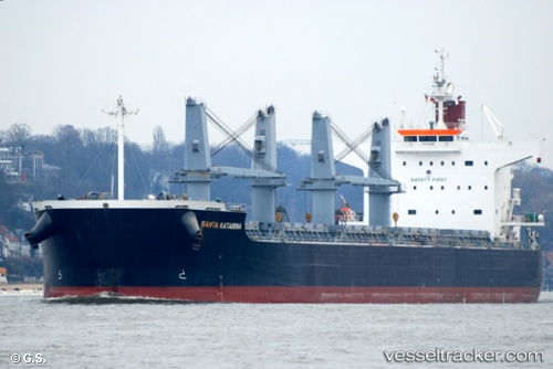
Vessel profile: DIONI is a Bulk Carrier with dimensions m x m.
This page combines live AIS, route history, probable destination signals, nearby traffic, and port activity for practical vessel monitoring.
The current position of vessel DIONI is 9.38256 lat / -37.92469 lng. Updated: 2026-05-21 17:18:46 UTCCurrently sailing under the flag of Portugal ![]()
Details:
Live Vessel DIONI Analytics (details, animations, etc.)
Recent AIS points (UTC):
2026-05-21 13:59:56 UTC · 9.02667, -38.42167 · SOG 10 kn · COG -1°2026-05-21 15:36:44 UTC · 9.19727, -38.17888 · SOG 11 kn · COG 58°
2026-05-21 16:30:03 UTC · 9.29500, -38.04667 · SOG 11 kn · COG -1°
2026-05-21 17:18:46 UTC · 9.38256, -37.92469 · SOG 10.9 kn · COG 59°