 PAMPERO
Current Status
Where is the vessel?
PAMPERO is currently in 72 nm N of Villagonzalo Pedernales, based on AIS data received about 15h ago.
Latest AIS update:
Current position: 43.49242° N, 34.72137° W (72 nm N of Villagonzalo Pedernales)
Average speed (last 7 days): Loading…
Average speed (last 30 days): Loading…
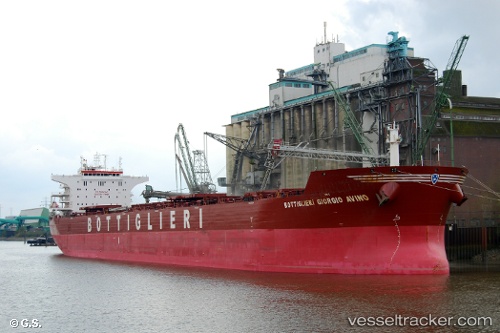
Vessel profile: PAMPERO is a Bulk Carrier with dimensions m x m.
This page combines live AIS, route history, probable destination signals, nearby traffic, and port activity for practical vessel monitoring.
The current position of vessel PAMPERO is 43.49242 lat / -34.72137 lng. Updated: 2026-05-22 15:19:52 UTCNearest reference points:
- 165 nm N of Villagonzalo Pedernales
Currently sailing under the flag of Marshall Islands ![]()
Details:
Live Vessel PAMPERO Analytics (details, animations, etc.)
Recent AIS points (UTC):
2026-05-22 11:24:37 UTC · 43.76030, -33.88298 · SOG 9.9 kn · COG 245°2026-05-22 12:58:42 UTC · 43.66033, -34.21097 · SOG 9.9 kn · COG 245°
2026-05-22 14:04:54 UTC · 43.58519, -34.44672 · SOG 10.5 kn · COG 244°
2026-05-22 15:19:52 UTC · 43.49242, -34.72137 · SOG 10.6 kn · COG 245°