 CANAKKALE S
Current Status
Where is the vessel?
CANAKKALE S is currently in 11 nm SE of Kumport, based on AIS data received about 14h ago.
Latest AIS update:
Current position: 40.79429° N, 28.92775° E (11 nm SE of Kumport)
Average speed (last 7 days): Loading…
Average speed (last 30 days): Loading…
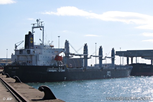
Vessel profile: CANAKKALE S is a Bulk Carrier with dimensions m x m.
This page combines live AIS, route history, probable destination signals, nearby traffic, and port activity for practical vessel monitoring.
The current position of vessel CANAKKALE S is 40.79429 lat / 28.92775 lng. Updated: 2026-05-22 22:05:59 UTCNearest reference points:
- 10 nm SE of Kumport
- Near Kumport
- 14 nm SW of Maltepe
Currently sailing under the flag of Liberia ![]()
Details:
Live Vessel CANAKKALE S Analytics (details, animations, etc.)
Recent AIS points (UTC):
2026-05-22 19:50:28 UTC · 40.78227, 28.96941 · SOG 0.8 kn · COG 324°2026-05-22 20:01:08 UTC · 40.78296, 28.96613 · SOG 0.8 kn · COG 312°
2026-05-22 21:35:18 UTC · 40.79095, 28.93712 · SOG 0.9 kn · COG 325°
2026-05-22 22:05:59 UTC · 40.79429, 28.92775 · SOG 0.8 kn · COG 335°