 SHIVA
SHIVA
Current Status
Where is the vessel?
SHIVA is currently in 37 nm W of Bentota River Apt, based on AIS data received about 14h ago.
Latest AIS update:
Current position: 6.30500° N, 79.37500° E (37 nm W of Bentota River Apt)
Average speed (last 7 days): Loading…
Average speed (last 30 days): Loading…
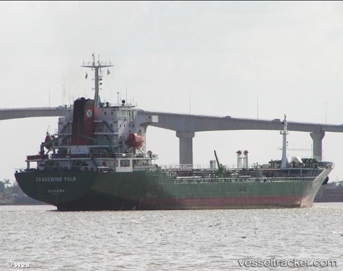
Vessel profile: SHIVA is a Oil Products Tanker with dimensions m x m.
This page combines live AIS, route history, probable destination signals, nearby traffic, and port activity for practical vessel monitoring.
The current position of vessel SHIVA is 6.30500 lat / 79.37500 lng. Updated: 2026-05-22 16:44:56 UTCNearest reference points:
- 67 nm SW of Moratuwa
- 19 nm SW of Bataduwa
- 38 nm SW of Galle
Currently sailing under the flag of Barbados ![]()
Details:
Live Vessel SHIVA Analytics (details, animations, etc.)
Recent AIS points (UTC):
2026-05-22 13:23:09 UTC · 6.18299, 79.66127 · SOG 5.3 kn · COG 300°2026-05-22 13:24:29 UTC · 6.18383, 79.65938 · SOG 5.5 kn · COG 300°
2026-05-22 15:53:09 UTC · 6.27571, 79.45252 · SOG 6.1 kn · COG 289°
2026-05-22 16:44:56 UTC · 6.30500, 79.37500 · SOG 5 kn · COG -1°