 SPRING WIND
Current Status
Where is the vessel?
SPRING WIND is currently in 14 nm N of Tobo, based on AIS data received about 14h ago.
Latest AIS update:
Current position: 33.71522° N, 129.97856° E (14 nm N of Tobo)
Average speed (last 7 days): Loading…
Average speed (last 30 days): Loading…
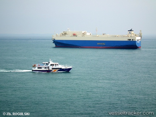
Vessel profile: SPRING WIND is a Vehicles Carrier with dimensions m x m.
This page combines live AIS, route history, probable destination signals, nearby traffic, and port activity for practical vessel monitoring.
The current position of vessel SPRING WIND is 33.71522 lat / 129.97856 lng. Updated: 2026-05-22 09:30:20 UTCNearest reference points:
- 17 nm NW of Tobo
- 15 nm N of TSUKINOKAWA
- Near Fukushima, Nagasaki
Currently sailing under the flag of Marshall Islands ![]()
Details:
Live Vessel SPRING WIND Analytics (details, animations, etc.)
Recent AIS points (UTC):
2026-05-22 06:28:17 UTC · 33.64924, 130.40820 · SOG 0 kn · COG 288°2026-05-22 07:19:17 UTC · 33.64924, 130.40822 · SOG 0 kn · COG 288°
2026-05-22 08:22:50 UTC · 33.67714, 130.26726 · SOG 13.8 kn · COG 340°
2026-05-22 09:30:20 UTC · 33.71522, 129.97856 · SOG 16.4 kn · COG 259°