 SONA
SONA
Current Status
Where is the vessel?
SONA is currently in 15 nm NE of Viinistu Sadam, based on AIS data received about 14h ago.
Latest AIS update:
Current position: 59.85662° N, 26.00242° E (15 nm NE of Viinistu Sadam)
Average speed (last 7 days): Loading…
Average speed (last 30 days): Loading…
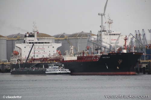
Vessel profile: SONA is a Oil/Chemical Tanker with dimensions m x m.
This page combines live AIS, route history, probable destination signals, nearby traffic, and port activity for practical vessel monitoring.
The current position of vessel SONA is 59.85662 lat / 26.00242 lng. Updated: 2026-05-21 13:05:36 UTCNearest reference points:
- 13 nm N of Viinistu Sadam
- Near Vessölandet
- Near Vuosaari (Nordsjö)
Currently sailing under the flag of Sierra Leone ![]()
Details:
Live Vessel SONA Analytics (details, animations, etc.)
Recent AIS points (UTC):
2026-05-21 09:56:36 UTC · 59.85577, 26.00238 · SOG 0 kn · COG 289°2026-05-21 10:50:36 UTC · 59.85618, 26.00243 · SOG 0 kn · COG 275°
2026-05-21 11:20:36 UTC · 59.85658, 26.00243 · SOG 0 kn · COG 258°
2026-05-21 13:05:36 UTC · 59.85662, 26.00242 · SOG 0 kn · COG 254°