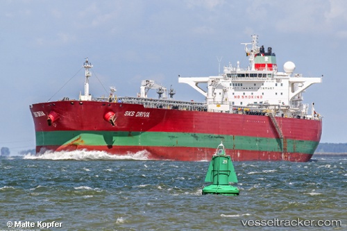
 TORM GAURI
Current Status
Where is the vessel?
TORM GAURI is currently in 179 nm SE of Drinagh, based on AIS data received about 14h ago.
Latest AIS update:
Current position: 50.27405° N, 145.56293° W (179 nm SE of Drinagh)
Average speed (last 7 days): Loading…
Average speed (last 30 days): Loading…
Vessel profile: TORM GAURI is a Oil Products Tanker with dimensions m x m.
This page combines live AIS, route history, probable destination signals, nearby traffic, and port activity for practical vessel monitoring.
The current position of vessel TORM GAURI is 50.27405 lat / -145.56293 lng. Updated: 2026-05-21 10:41:14 UTCCurrently sailing under the flag of Denmark ![]()
Details:
Live Vessel TORM GAURI Analytics (details, animations, etc.)
Recent AIS points (UTC):
2026-05-21 07:26:33 UTC · 50.16210, -144.53580 · SOG 12.5 kn · COG 283°2026-05-21 07:43:34 UTC · 50.17500, -144.62334 · SOG 12 kn · COG -1°
2026-05-21 10:16:33 UTC · 50.26333, -145.43167 · SOG 12 kn · COG -1°
2026-05-21 10:41:14 UTC · 50.27405, -145.56293 · SOG 12.3 kn · COG 277°