 ROSLYN
Current Status
Where is the vessel?
ROSLYN is currently in 73 nm NW of Palu, based on AIS data received about 15h ago.
Latest AIS update:
Current position: 0.31667° S, 118.77667° E (73 nm NW of Palu)
Average speed (last 7 days): Loading…
Average speed (last 30 days): Loading…
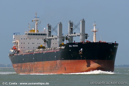
Vessel profile: ROSLYN is a Bulk Carrier with dimensions m x m.
This page combines live AIS, route history, probable destination signals, nearby traffic, and port activity for practical vessel monitoring.
The current position of vessel ROSLYN is -0.31667 lat / 118.77667 lng. Updated: 2026-05-22 01:59:51 UTCNearest reference points:
- 56 nm SE of Santan Terminal
- 39 nm W of Labuanbajo
- 29 nm W of Labuanbajo
Currently sailing under the flag of Indonesia ![]()
Details:
Live Vessel ROSLYN Analytics (details, animations, etc.)
Recent AIS points (UTC):
2026-05-21 21:42:38 UTC · 0.31708, 119.35957 · SOG 12.7 kn · COG 222°2026-05-21 22:44:52 UTC · 0.16166, 119.21500 · SOG 11 kn · COG -1°
2026-05-22 00:50:52 UTC · -0.14667, 118.93500 · SOG 11 kn · COG -1°
2026-05-22 01:59:51 UTC · -0.31667, 118.77667 · SOG 12 kn · COG -1°